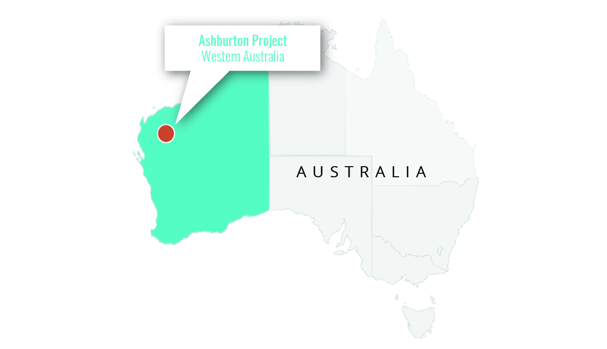
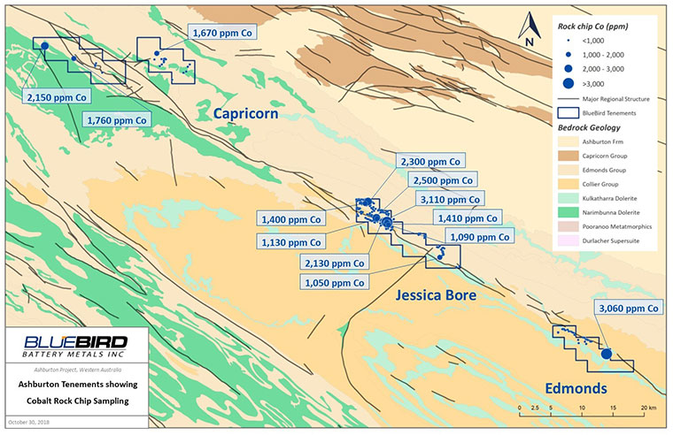
The Ashburton Project is located approximately 315 km south of Karratha and 950 km north of Perth in the Pilbara region of Western Australia and consists of four granted exploration licences covering a total land area of 189km2. The Ashburton Project covers the northwestern extent of the Edmund Basin where it lies unconformably on the Ashburton Basin. The Ashburton Basin is represented by a 12 km thick southeast trending sequence of low-grade meta-sediments and meta-volcanic rocks. The Talga Fault strikes northwest to southeast through the Project.
Highlights
- Project covers a total land area of 189 km2, over 30 km of Prospective Talga Fault Zone within the tenured licences
- Cobalt-Manganese mineralization within the Ashburton Project is hosted within a dolomitic unit which extends along the Talga Fault Zone
- Several major cross cutting northeast trending faults have been locally infilled by dolerite (diabase) dykes.
- The Talga Fault which transects the Project appears to have acted as a major basin-margin or growth fault, controlling sedimentary deposition and basin development.
- Multiple significant rock chip results including:
- 3,110ppm Cobalt (0.311% Co)
- 3,060ppm Cobalt (0.306% Co)
- 2,500ppm Cobalt (0.25% Co)
- 2,300ppm Cobalt (0.23% Co)
- 2,150ppm Cobalt (0.215% Co)


